Web version
iOS
Android
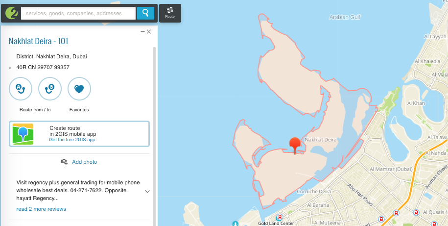
Enter the name of the district in the search bar and select the card of this district in the search results. 2GIS will show the district on the map and will highlight its boundaries in red.
To view the boundaries of a district or a neighborhood
- To view to what district a specific area on the map belongs, left-click on any place on this area, except for buildings.
- 2GIS will show the boundaries and the name of a district to which this territory belongs.
- Zoom out to see the boundaries of the district, and even further — to display the boundaries of the city.
See also: