Legend on 2GIS maps
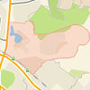
The 2GIS maps are highly detailed, so it will be easy for you to compare the picture on the screen with your location and understand where you are. To make our maps complete and accurate, field teams of cartographers work in each city on a permanent basis.
You can click any item on a 2GIS map and obtain detailed information. For example, if you click on a building you’ll then see its detailed address, postal code, number of floors and local businesses in the building. If you click on a public transport stop, you’ll then see its name and nearest transport routes.
Our directory system and maps know not only the official names of locations and buildings, but thousands of vernacular nicknames.
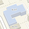
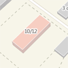
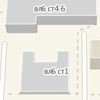
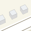
Buildings
-
Residential buildings -
Office buildings -
New buildings -
Private houses -
Schools -
Kindergartens -
Buildings known for their intended purposes (utility facilities, transformer vaults, garages, etc.)
Municipal areas
-

Residential areas -

Greenbelts (parks, public gardens, walkways, corridors, etc.) -

Administrative territories -

Suburban areas -

Industrial areas -

Cemeteries -

Private housing -

Water bodies
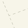
Transport network
-
Streets -
Driveways -
Railway branch lines -
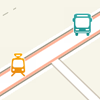
Public transport stations -
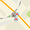
Metro stations and railway stations
Urban development items
-

Fountains -
Kiosks -
Fences -
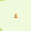
Sightseeing attractions (monuments, memorial tablets, sculptures, architectural monuments, natural monuments, etc.)
Administrative boundaries
-
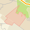
Settlements -
Districts and housing estates
Additional layers
-
Additional information layers are available for several cities, such as the cost of business lunches, Wi-Fi spots and others..