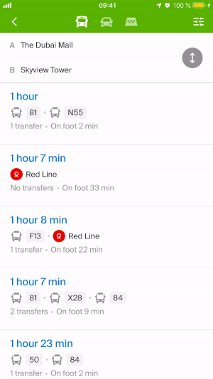
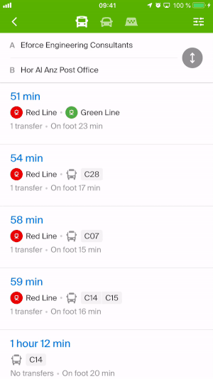
How 2GIS selects the route options by public transport
When 2GIS suggests possible routes by public transport, it takes into account the following parameters:
- the average speed of a particular type of transport;
- the number of stops on the route;
- the distance that you will have to travel, if you choose one or another option;
- the time, which the walking part of the route will take;
- the average waiting time of a particular type of public transport.
Not considered yet:
- traffic jams;
- fare price.
Types of public transport
In mobile apps you can choose certain types of public transport that you don’t want to use and would like to omit when searching a route.
- Build a route and then open the menu in the upper right corner.
- Select the types of transport that you would like to omit and press “Remember my choice”. After that the application will not take this types of transport into account when building a route.
Inaccuracy in the route
If you know how to build this route better, let us know using the “Inaccuracy in the route” or “Report error” buttons in the mobile app for iOS or Android — it is situated at the bottom of the card of the created route.
See also: