How to build a route by public transport or by car
2GIS can build a route by all kinds of public transport and by car and takes into account where in the building is situated the entrance to the company that you need. In the metro 2GIS tells you which car you need to get into. For pedestrians it draws a route bypassing fences and other obstacles and taking gates into account.
In mobile applications there is the navigator: it builds a route taking into consideration the traffic jams and toll roads.
The mobile app users can also choose certain types of public transport which they don’t want to use and would like to omit when searching a route.
Web version
iOS
Android
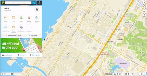
Build a route
- Click on the “Route” button to the right of the search bar and set the starting and final points of your route. Or, open the card of the company/ building you need and click on “Route from” or “Route to”.
- Select the type of transport you want to use — public transport or a car.
- Select one of the route options.
- Click on any of the route parts to view it in detail on the map.
- To adjust the route by car, hold down the left mouse button on the blue line indicating the route and drag a point to the street or address you want to drive through.
- To adjust the starting or destination point of the route that was already built, drag the point to the necessary location on the map.
See also: