How to measure distance between points
To measure the distance between points on the map you can use a special tool — a ruler.
How to use a ruler
Web version
iOS
Android
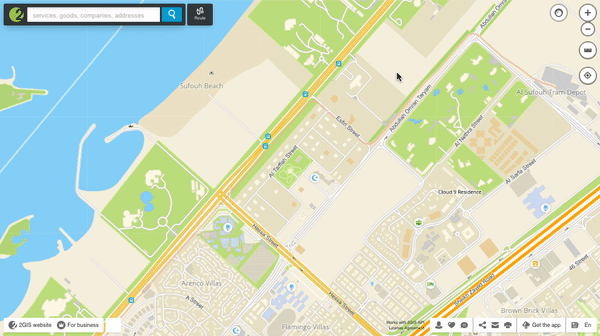
- Activate the ruler mode by clicking on the corresponding button in the upper right corner of the map.
- Left-click to select the desired points on the map. You can specify any desired number of intermediate points, the ruler will measure the distance from the starting to the destination points.
- To delete any of the segments of the line, click on x in the window that displays the distance.
- To exit the mode, press again the button with the image of the ruler.
See also: