How to enable or disable the 3D mode in the Desktop version
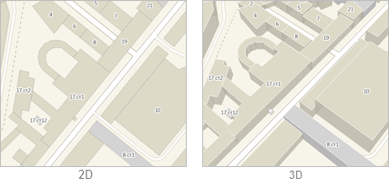
2GIS has an integrated feature that allows displaying the buildings on the map in a simple 2D mode or a pseudo 3D mode, according to their actual height. To enable/disable pseudo-three-dimensional objects on the map, select the 3D tool on the toolbar in the map window.